Company Logo:

Pilot Name:
Kieron Lee ParnellCompany Name:
Airborne InsightsPilot Qualifications:
Insurance Company:
Areas Flown:
All England, North East England, North West England, Yorkshire and the Humber, East Midlands, West Midlands, East of England, London, South East England, Home Counties, South West EnglandServices Offered:
Aerial Mapping and Surveying, Aerial Photography and Videography, Agriculture and Land Management, Construction Monitoring, Logistics and Industrial, Real Estate, Roof and Building Inspection, Solar Panel Inspection, Structural and Infrastructure Inspection, Thermal Inspections, Volume MeasurementCompany Profile : Last updated on: Checking...
Airborne Insights: Engineering-Led Aerial Surveys and Technical Asset Intelligence
Airborne Insights operates at the intersection of professional aeronautical engineering and advanced Unmanned Aircraft Systems (UAS). Unlike standard drone operators, we provide a sophisticated, engineering-led approach to data acquisition, specifically designed for the UK’s property, construction, and aerospace sectors. Led by a Chartered Engineer (CEng) with over 30 years of experience in aircraft test and evaluation, our mission is to transform raw aerial imagery into high-fidelity spatial data that supports critical decision-making and digital transformation.
Technical Authority and CAA Regulatory Governance
In the stringent landscape of UK aviation, safety and legality are the foundations of our service. Airborne Insights is fully authorised by the Civil Aviation Authority (CAA), operating under an Operational Authorisation within the “Specific Category” (UK PDRA01). This certification is a critical requirement for high-stakes projects on industrial sites and congested urban environments, as it permits operations that exceed the limitations of the “Open Category”.
Our commitment to professional standards is further evidenced by our leadership’s membership in the Royal Aeronautical Society (RAeS) and the Engineering Council. By prioritising robust risk management and aviation-grade flight planning, we ensure that every project is legally compliant, fully insured, and executed with surgical precision.
Consultative Data Solutions for the Built Environment
We act as a technical extension of your project team, providing expert advice on the best platforms and sensors to meet specific engineering or surveying objectives. From identifying subtle structural failures in a commercial façade to providing accurate bulk material estimations for groundworks, our methodology is rooted in analytical rigour.
By digitising assets from above, we provide a safer, faster alternative to manual inspections, eliminating the need for costly scaffolding or hazardous at-height working methods. Our outputs—including 2D orthomosaics and 3D digital twins—are designed for seamless integration into professional CAD and BIM workflows.
Our Core Professional Capabilities Include:
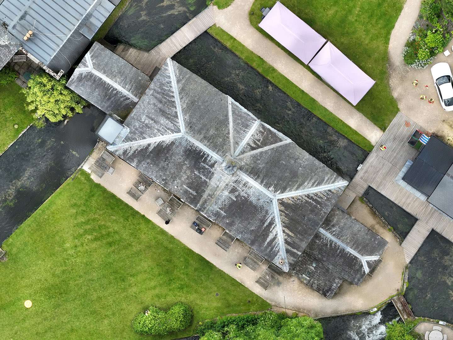
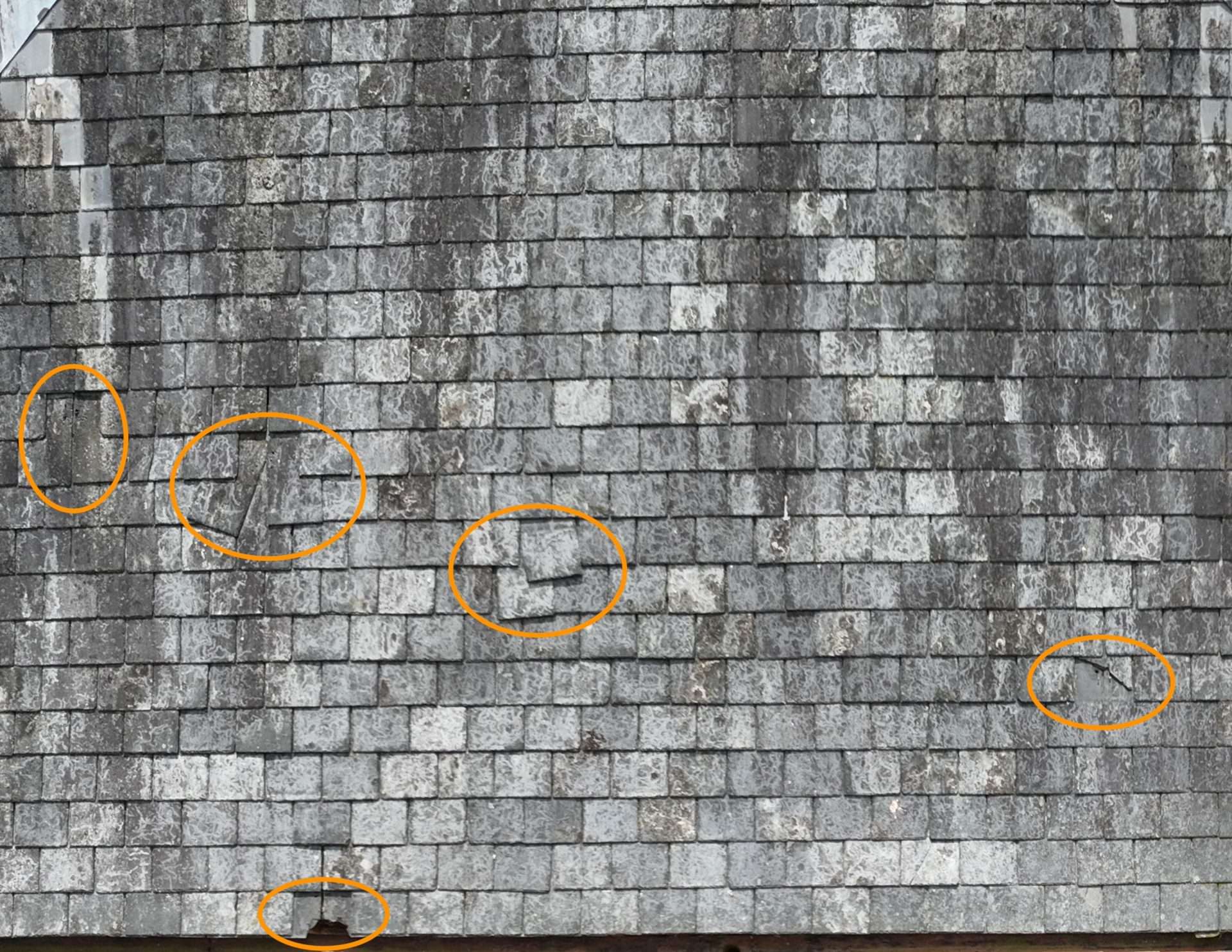
Industrial Asset & Roof Inspections: High-detail visual and thermal condition reporting to identify structural defects without at-height risks.
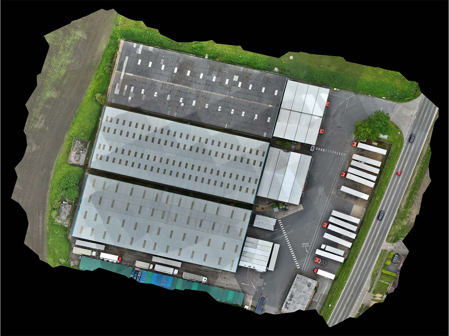
Topographical Mapping & Photogrammetry: Generating georeferenced 2D maps and 3D terrain models for land development and site planning.
Construction Progress Monitoring: Scheduled aerial data captures to track site evolution and provide indisputable visual records for stakeholders.
Aerospace Engineering Consultancy: Specialist knowledge in flight test, evaluation, and certification for both crewed and uncrewed aircraft.
Example Work
Hover over any image to zoom in