Company Logo:

Pilot Name:
Jono PhilpottCompany Name:
Terratech EngineeringCompany Website:
Visit WebsiteCompany Email:
Company Phone:
Pilot Qualifications:
Insurance Company:
Areas Flown:
London, South East England, Home CountiesServices Offered:
Aerial Mapping and Surveying, Aerial Photography and Videography, Construction Monitoring, Land Surveying (LiDAR and Photogrammetry), Roof and Building Inspection, Solar Panel Inspection, Structural and Infrastructure Inspection, Volume MeasurementCompany Profile : Last updated on: Checking...
Terratech Engineering: Advanced Aerial Geospatial Data and Certified UAS Operations
Terratech Engineering operates at the intersection of traditional civil engineering and modern aerial intelligence. We specialise in the acquisition of high-accuracy geospatial data, moving beyond basic imagery to deliver georeferenced orthomosaics, 3D point clouds, and topographical models. Our approach is consultative and technically rigorous, designed to meet the exacting standards of surveyors, engineers, and Tier 1 construction firms across the United Kingdom.
Technical Authority and GVC/CAA Compliance
Safety and regulatory adherence are the foundations of our engineering-led approach. Terratech Engineering is fully authorised by the Civil Aviation Authority (CAA) and holds the General Visual Line of Sight Certificate (GVC). This professional accreditation permits us to operate within the “Specific Category,” granting us the permissions required to conduct missions in complex urban environments and congested industrial sites. By prioritising GVC-mandated risk management, we ensure every mission is legally compliant and backed by comprehensive commercial insurance.
Data-Led Solutions for Modern Infrastructure
We understand that the value of aerial data lies in its accuracy and ease of integration. Our outputs are processed to be mission-ready, integrating seamlessly into existing BIM (Building Information Modelling) and CAD workflows. Whether monitoring volumetric changes on a site or performing a detailed structural investigation, our goal is to provide data that drives project efficiency and precision.
Our Core Professional Capabilities Include:
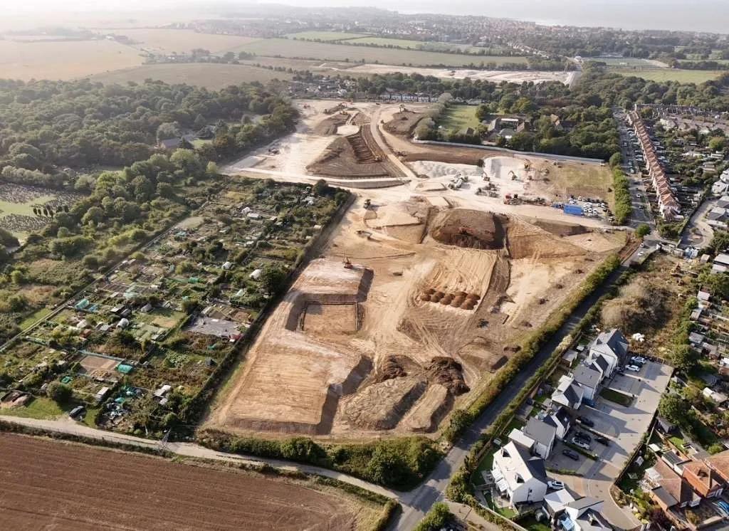
- Topographical Mapping & Photogrammetry: Creating high-accuracy 2D site maps and 3D terrain models for land development.
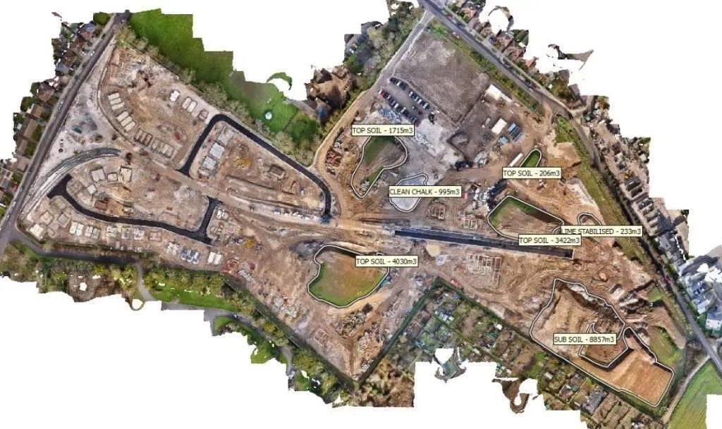
- Volumetric Analysis & Stockpile Surveys: Precise measurement of earthworks and materials for construction site management.
- Industrial Asset Inspections: Safe, high-resolution visual and thermal records of structural integrity for infrastructure.
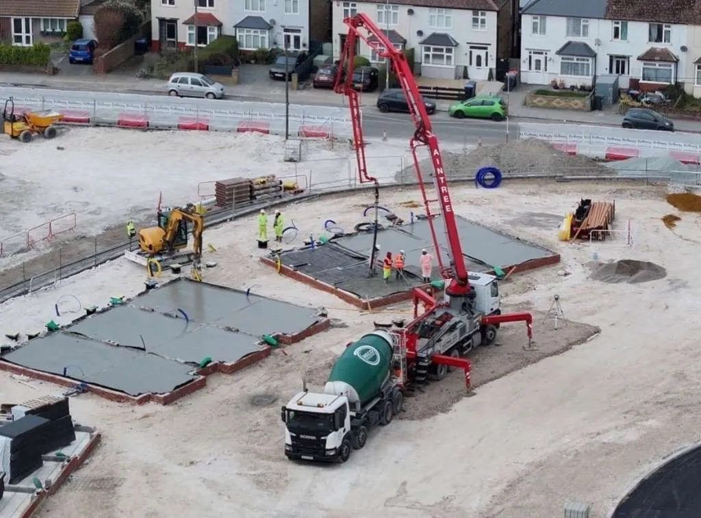
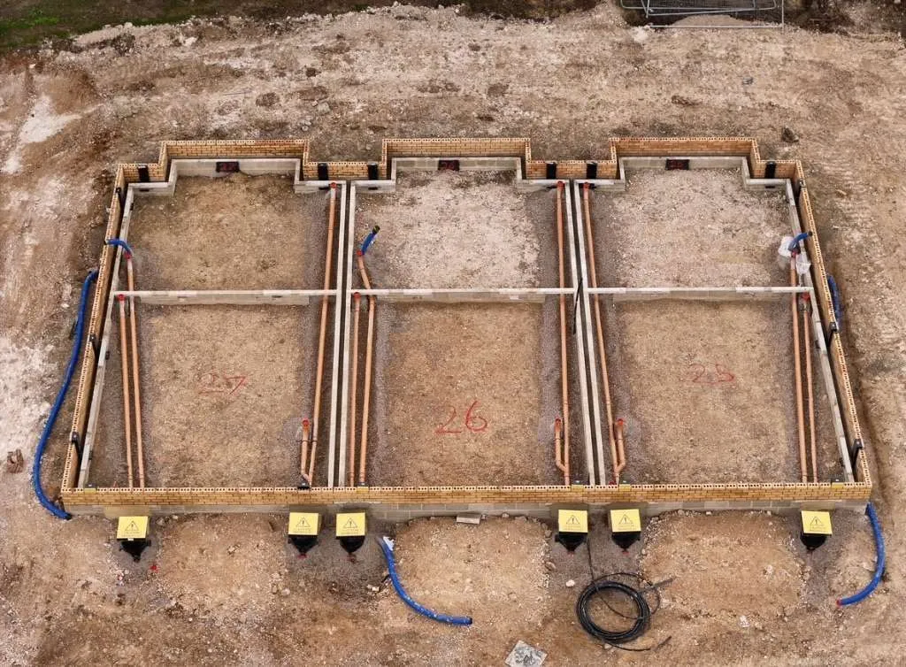
- Construction Progress Documentation: Scheduled aerial data captures to track site evolution and provide a chronological record.
Example Work
Hover over any image to zoom in